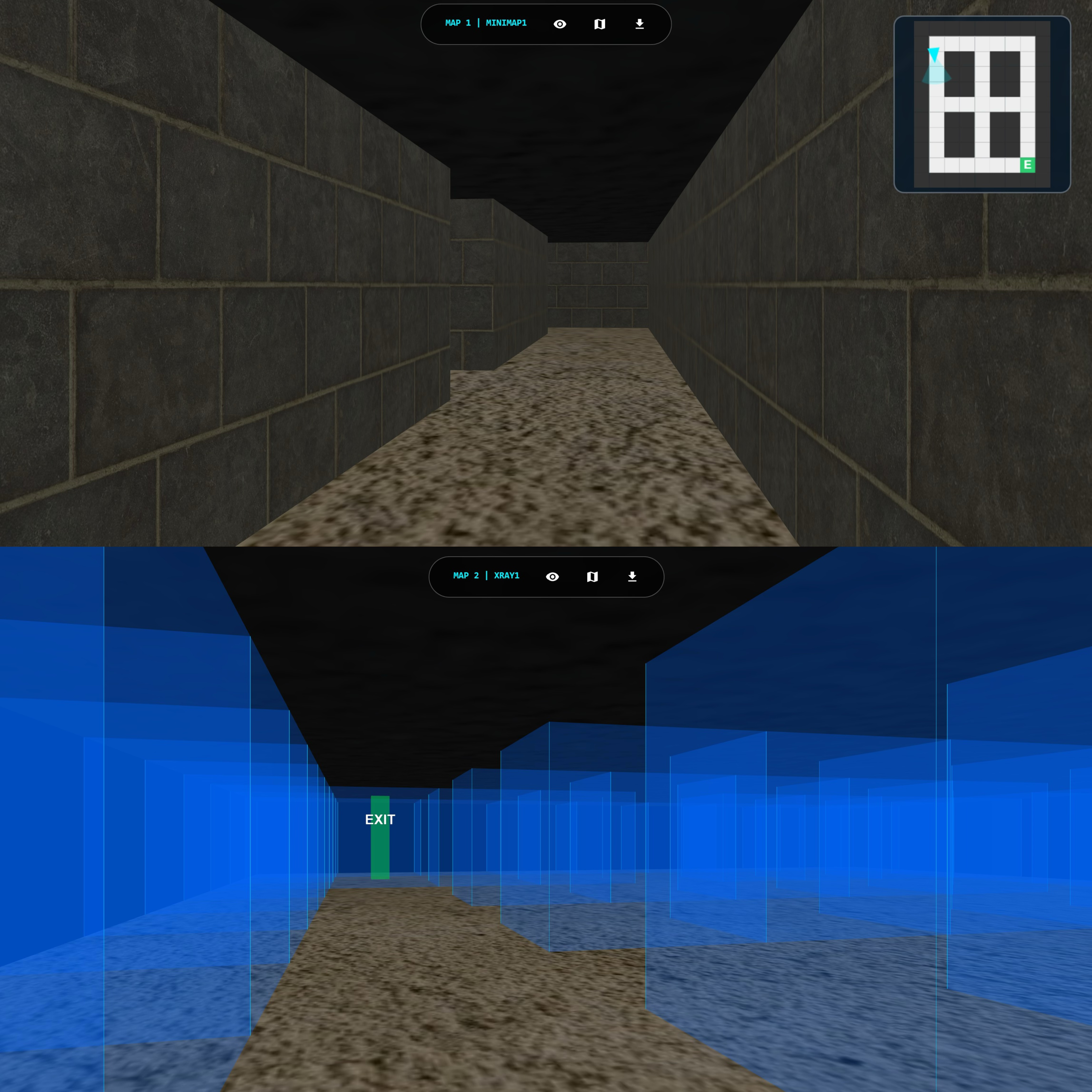
Web3D navigation & user research
A browser-based 3D experiment connecting navigation interfaces, behavioural telemetry and a 28-participant user study.
Munich, Germany · MSc Cartography, TUM
Software prototyping · Analytics · User research
I connect working prototypes, structured data and user research to inform better interface and product decisions.
From interactive systems and data workflows to user evidence and spatial communication.
7 projects shown.

A browser-based 3D experiment connecting navigation interfaces, behavioural telemetry and a 28-participant user study.

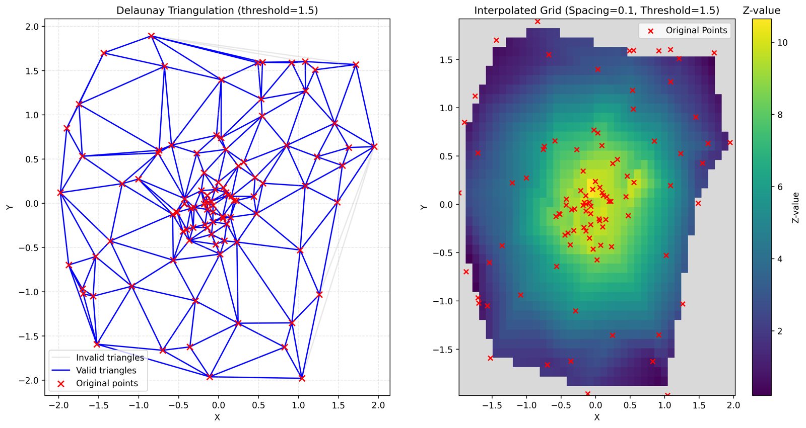
A Python workflow for loading point measurements, interpolation, visual diagnostics and structured export.


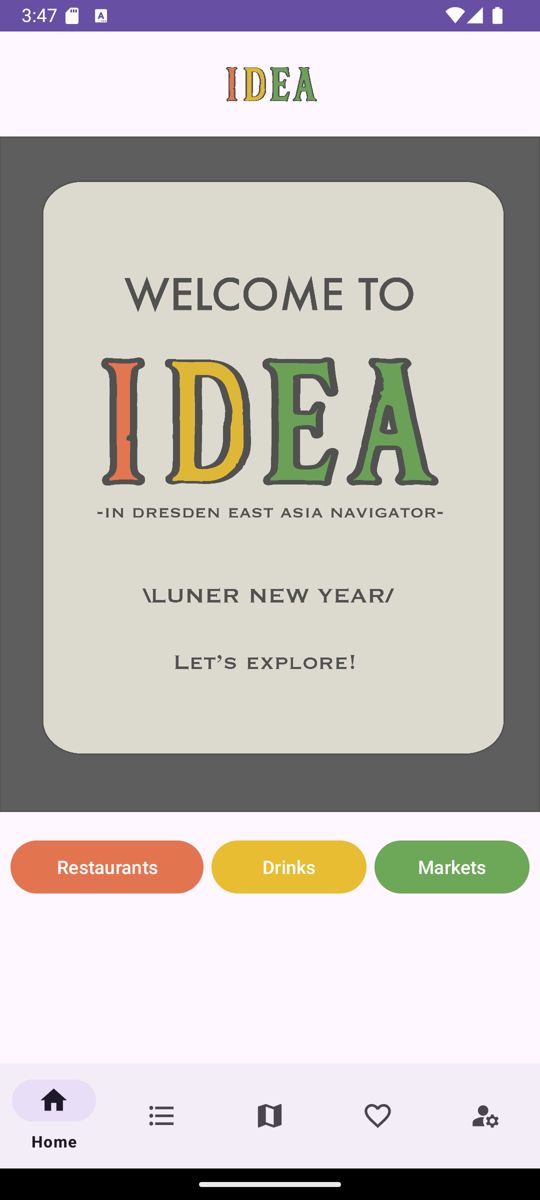
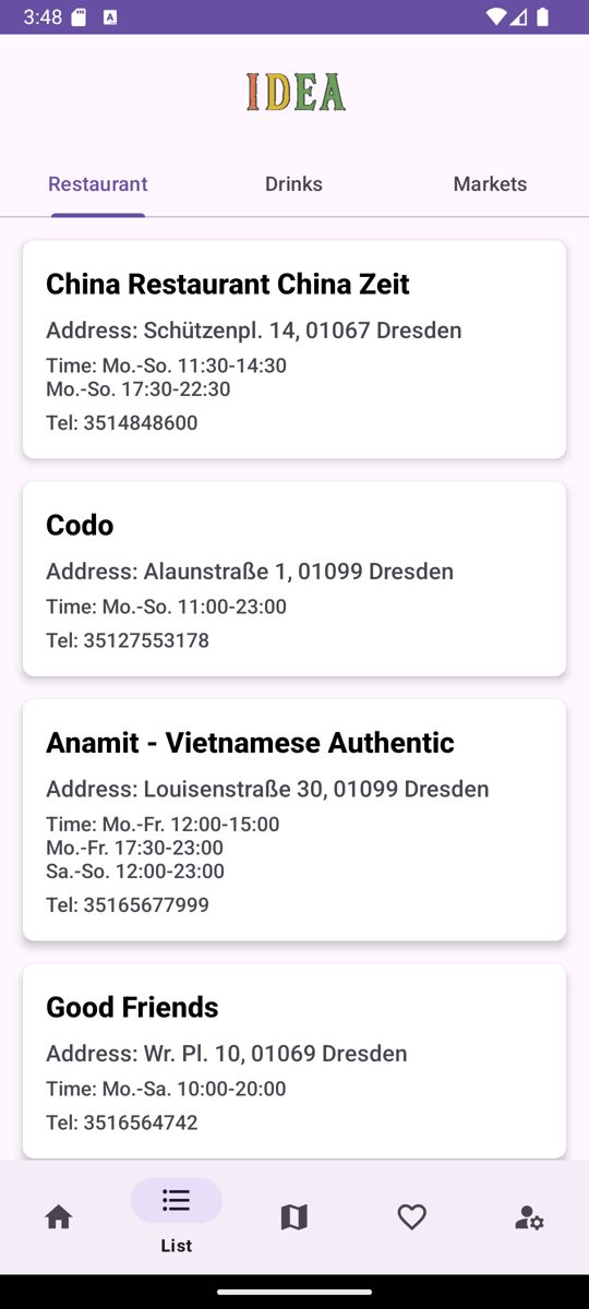
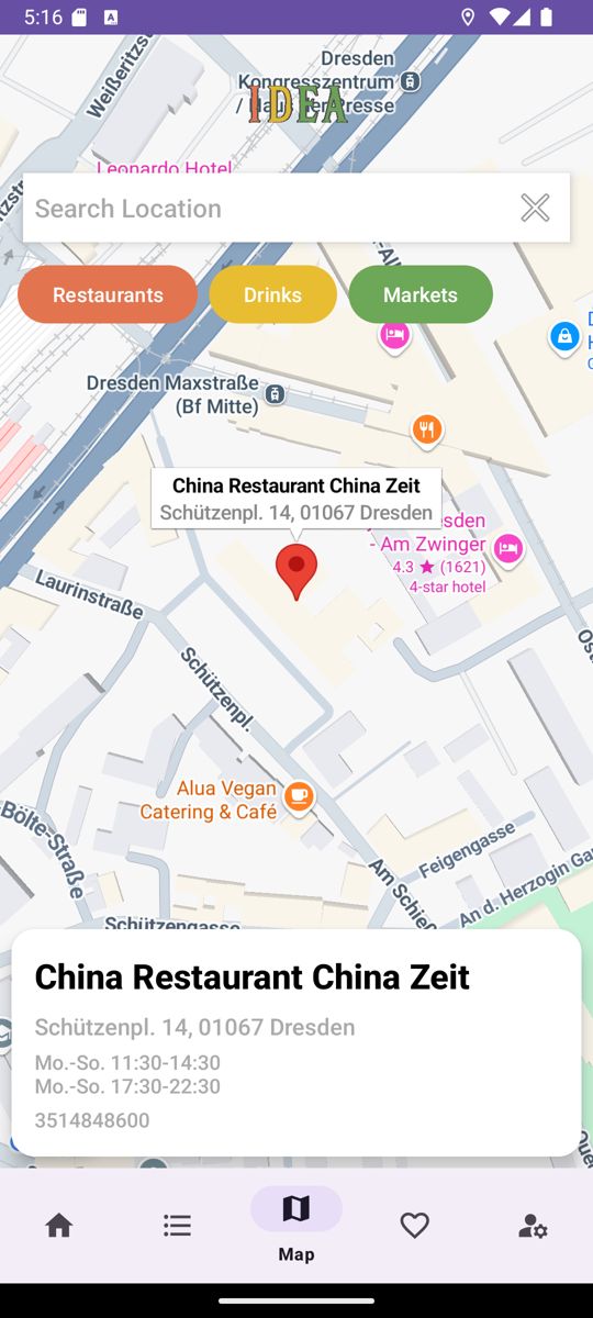
An Android place directory with category navigation and a list-to-map interaction, built in a three-person team.


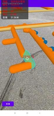
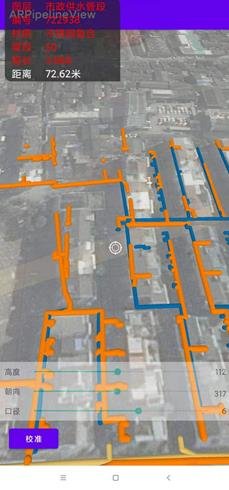
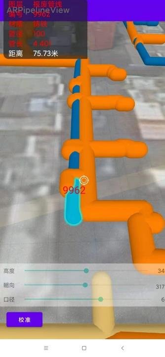
An individual Android AR prototype combining device location, attribute inspection, manual calibration and functional testing.

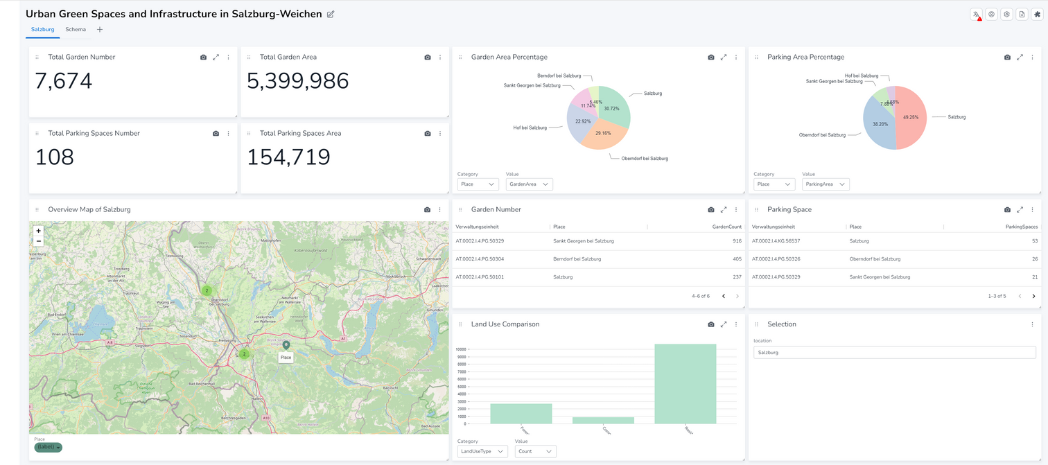
A regional dashboard bringing infrastructure indicators, maps and municipality comparisons into one view.

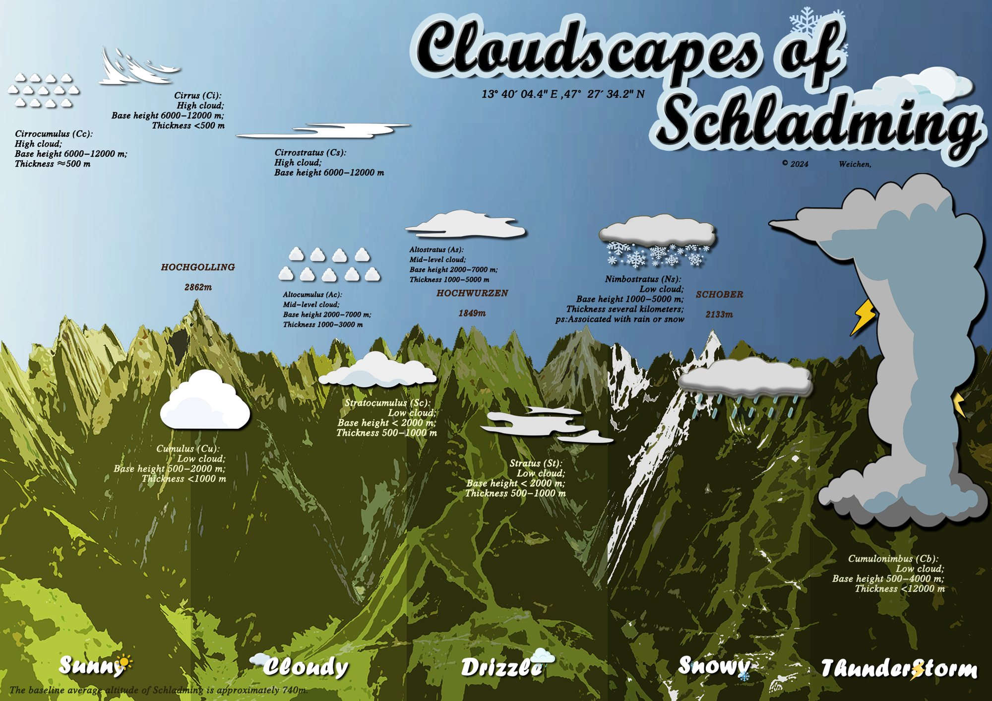
Elevation data, 3D terrain and field observations brought together in a collaborative Alpine panorama.

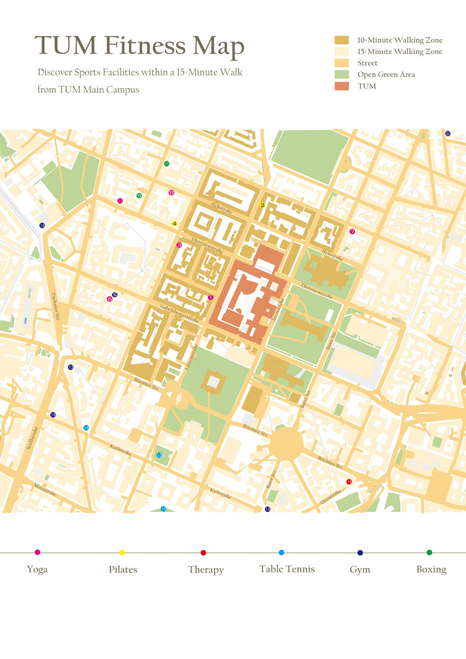
A campus-area guide connecting sports facilities, walking zones and a clear visual hierarchy.
Explore the project: TUM Fitness MapInteractive browser environments, mobile interfaces and frontend-backend integration. I connect interface behaviour with structured data collection.
JavaScript, Three.js / WebGL, Java / Android, Python / Flask
Data preparation, numerical processing and visual diagnostics. I work from raw inputs to interpretable metrics, outputs and dashboards.
Python, NumPy, SciPy, SQL, Matplotlib, Superset
User studies, behavioural metrics and functional testing. I connect measured behaviour and participant feedback to clear design recommendations.
Study design, questionnaires, paired comparisons, technical reporting
I am an MSc Cartography graduate based in Munich. My work combines software implementation, data analysis and user-centred evaluation.
My background in spatial computing adds a distinctive strength in 3D interaction, navigation and visual communication.
Wrote preparation scripts and documented processing workflows for developer validation. Standardised fields, data types and units across platform inputs.
Used Python and SQL for data preparation, and contributed to Superset dashboards and user documentation. Prepared boundary data for 18 cities in Guangdong; calculated spatial indicators and produced QGIS maps.
Technical University of Munich, in a joint programme with TU Wien, TU Dresden and the University of Twente.
China University of Geosciences (Wuhan) · 2017–2021
English: IELTS 7.0 · German: basic
I bring software prototyping, data analysis and user research to technical and product-focused teams.
Full application materials available by email.